This post takes us up the scenic east coast of Tasmania, starting on the 4th of March 2024. Our first stop was in Freycinet National Park (NP), where all the NP campsites were booked out. We found a free camp, Rivers and Rocks, which was nice but overcrowded.


There is so much to see in Freycinet – great scenery and lots of walks. We made the most of our day there, starting with Wineglass Bay. Sometimes, especially in Tassie, one has a day with ao much beautiful scenery its almost overwhelming and certainly its stunning and inspiring. The 5th of March in Freycinet was one such day.


We went through the town of St Helens, left the coast and started to head up to the northernmost corner on the east coast.


Now I found learning about the wind farm VERY INTERESTING. If that does not interest you, I suggest you skip this paragraph. The wind farm is spread over the 5500 hectare property of Cape Portland. They had to build 70 km of tracks to provide access to the sites of the 56 turbines. 64 km of underground cable connects the turbines to the control building. In this area the average wind speed is 33 km/hr. Turbines turn at 12 km/hr and they stop turning at 90 km/hr. To build the foundation of each turbine requires 80 truckloads of concrete, 64 tonnes of reinforcing steel and 9 tonnes of anchor bolts. Each foundation weighs more than 1250 tonnes. Each of the 56 turbines was transported to the site in pieces. In February 2013 the first turbines were erected by two cranes (one was a 500 tonne crane and the other was a 1200 tonne crane). Both were brought to Tasmania for this job. The towers are 80 m high. Each turbine generates 3 Megawatts. There are 3 blades per turbine. The blades are 44 m long and weigh 7 tonnes each. They were made in China and Italy. Sounds like the Chinese believe in renewable energy. Too bad they own 75% of this wind farm.
These next two slides were displayed on the wall inside the display centre at the Tebrakunna Wind Farm and outline the history of the local people who originally inhabited Trouwunna, Tasmania. It makes sobering reading.


We returned south back to St Helens to resupply before camping at Seatons Cove in the Bay of Fires.

The Explorer Motorhome (MH) Rally at Cozy Corner South was our next stop and it was a 4 minute drive. Actually it was a very casual get together of 12 Explorer MHs/20 people. Lots of chatting and a great group photo on the beach.


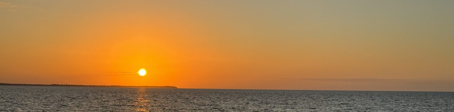
After the rally we checked out Binalong Bay and then treated ourselves to a night in St Helens and dinner out. We made sure to get another lobster and salad lunch before leaving the coast.

Next stop on the 15/3/24 was JACOBS LADDER and that heralds the next blog, which will cover the last two weeks of this trip.
Sounds like a great trip Pat and Dick. I was very interested in the windfarm section – it amazes me how big they are. It’s a pity, as you say, that we don’t own the while thing though.
I loved the photo of Binalong Bay- what a gorgeous little cove!
Great post Pat. Really interesting information. You’re quite right about China being committed to sustainable energy. The massive city that is Beijing has 75% of its energy coming from solar and wind power.
I see Dick has installed a wind turbine on the top of Belle. I don’t know about that – you can’t drive faster than 90km/hr and you’d have to be a bit careful with overhead bridges. Still, think how high he can hoist the internet cable.
Love your map! Great to see exactly where you’re talking about.
The photos are beautiful, as usual. Such great memories.